Repository: https://opensource.ncsa.illinois.edu/stash/scm/image/im2learn.git
Documentation: PDF
Bug Reporting: Jira
License: NCSA Open Source
Status: Supported
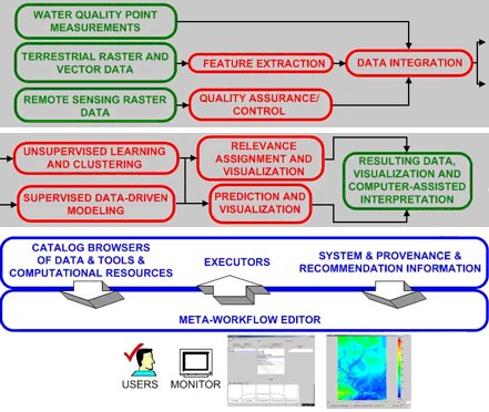
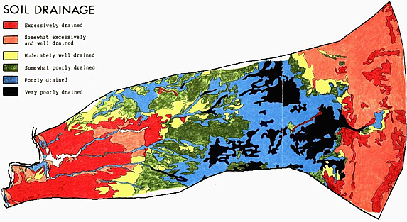
The Im2Learn (Image to Learn) suite of tools is designed to address the gap between complex multi-instrument raw data and knowledge. Im2Learn automates repetitive analysis tasks and builds user-friendly decision-making systems for a variety of applications, including machine vision, precision farming, land use and land cover classification, map analysis, geo-spatial information systems (GIS), synthetic aperture radar (SAR) target and multi-spectral scene modeling, video surveillance, bioinformatics, microscopy and medical image processing, and advanced sensor environments.The motivation for developing Im2Learn comes from academic, government and industrial collaborations that involve development of new computer methods and solutions for understanding complex data sets. Images and other types of data generated by various instruments and sensors form complex and highly heterogeneous data sets, and pose challenges on knowledge extraction. The objective of the Im2Learn suite of tools is to provide solutions to real life problems in the application areas of:
- machine vision,
- precision farming,
- land use and land cover classification,
- map analysis,
- geo-spatial information systems (GIS),
- synthetic aperture radar (SAR) target and multi-spectral scene modeling,
- video surveillance,
- bio-informatics,
- microscopy and medical image processing, and
- advanced sensor environments.
Im2Learn provides code for the automated processing of repetitive, laborious and tedious analysis tasks and user-friendly decision-making systems that operate in automated or semi-automated modes in a variety of applications. The software is based on methods taken from computer vision, data fusion, statistical and spectral modeling.
Source code is available from our git repository at https://opensource.ncsa.illinois.edu/stash/scm/image/im2learn.git and can be checked out as follows:
git clone https://opensource.ncsa.illinois.edu/stash/scm/image/im2learn.git
If you wish to contribute code to the project please contact kooper@illinois.edu
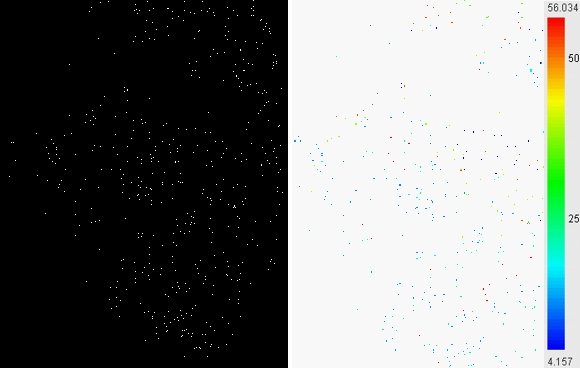
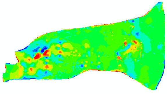

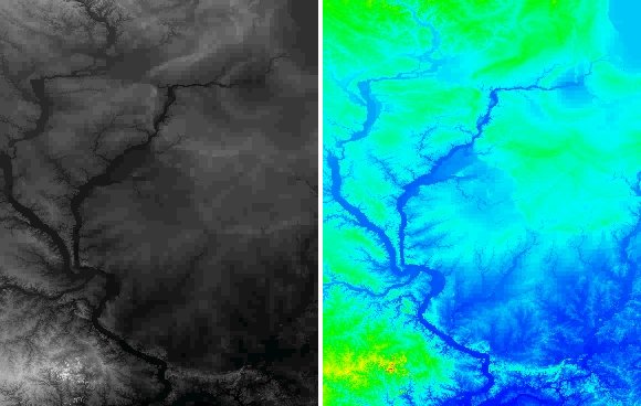
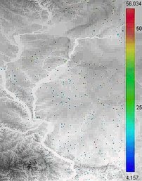
Overlay of the elevation map of Illinois and the Algae predicted values.
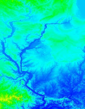
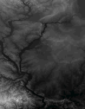
will be the point of analysis and eventual comparison.